If you’re planning a development project, state and federal regulations require you to know the current boundaries of wetlands on your property in order to avoid and/or minimize wetland loss. A wetland professional is required to make the boundary determination, and their findings are subject to review by regulatory agencies. Failure to comply with these guidelines can cause lengthy and expensive project delays due to unexpected permit requirements.
Our environmental experts have put together a few FAQ’s on wetland assessments and delineations to help you keep your project moving smoothly.
FAQ’s on Wetland Delineations
When do I need a wetland delineation?
Landowners and/or developers who are planning a project that may alter or fill a wetland, stream, pond or shoreline, or who want to avoid permit or project delays due to impacts, should have a wetland assessment and possible delineation completed.
How are wetland delineations completed?
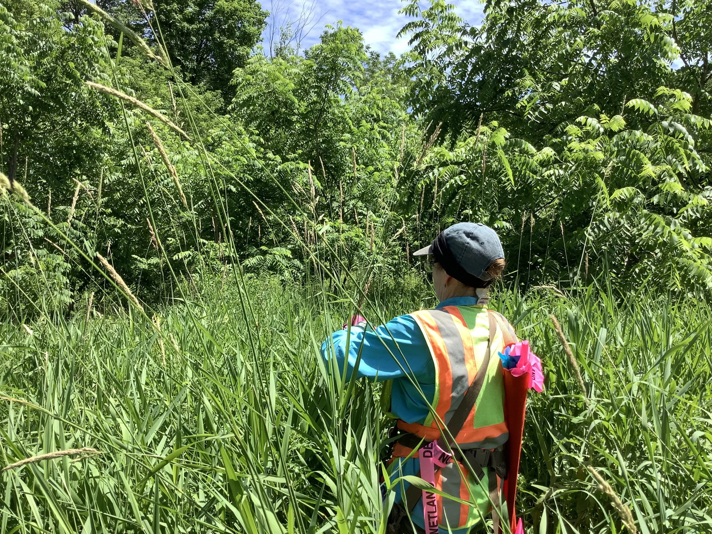
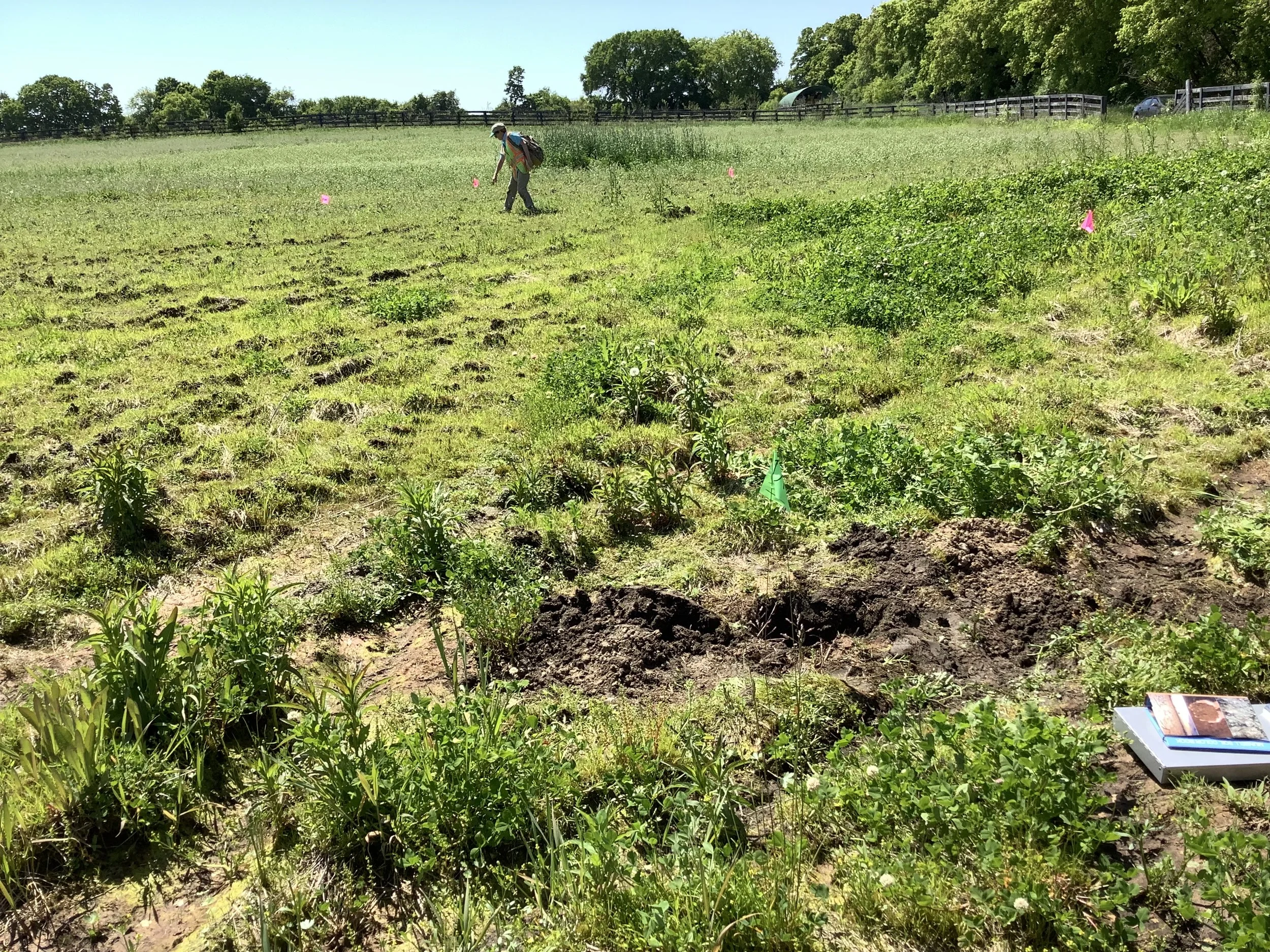
Potential wetland areas are identified through the analysis of various maps, aerial photographs, soils information, and on-site reconnaissance. The wetland delineation field work is performed based on the Corps of Engineers 1987 Wetland Delineation Manual and its regional supplement, and in accordance with WDNR requirements.
The determination between uplands and wetlands is made based on subtle to distinct topographic breaks, the boundary between hydrophytic and non-hydrophytic vegetation, the boundary between the presence and absence of wetland hydrology indicators, and the boundary between hydric (wetland) and non-hydric soil.
How long will it take?
Depending on the size of the site and potential wetland or poorly drained areas to evaluate, it can take 1-2 days to review and obtain the desktop research materials, and 1-2 field days to gather necessary site data (this timeline could be longer for more larger/more complex sites). The report will normally be completed within 2-4 weeks after notification to proceed. Once the report is complete, the WDNR will review it and will require a field inspection for confirmation during the growing season.
Note: Do not wait until October to request a wetland review; the WDNR will likely table its confirmation until the spring!
What does your DELINEATION team need to get started?
Not a whole lot! The best thing to get us started is a Google Earth KMZ that outlines the potential disturbance area (Study Area). Other maps showing the location and boundary of the site are also helpful. This helps determine the area that may need to be reviewed for potential wetlands.
Timelines for Permits:
Nationwide or General permits: 1 to 3 months
Individual permits (for larger wetland or water impacts): 6 to 12 months
Chapter 30 (Wetland and Waterway General Permit): 60 days
Individual Permit and/or Water Quality Certification (for larger wetland or waterway impacts): 3-12 months
Securing assistance earlier in the planning and design process is preferred, since we can help anticipate natural resource constraints and potential permits (including local, USACE, or other project-specific WDNR permits). Typically, environmental (and potentially, cultural resource) screening or field work should be considered early in the process to help avoid unanticipated project delays.
Get Started Now
Fall is fast approaching and the time to get wetland delineations done for your projects is NOW. While the WDNR strives to confirm all delineations on a rolling basis, once the growing season is complete (which could easily be in mid-October), delineations are much harder to get approved. It is likely that confirmation from the WDNR will be delayed until next spring when a site visit can be conducted. That can have a big impact on planning, design, and permitting of a project, especially if you want to get started early in the year. Contact our environmental services team today to learn more.
ABOUT THE AUTHOR

Nicholas P. Connor, MS
Senior Biologist
Senior Biologist Nick Connor, MS, has a focus on urban river systems and Environmental Risk Assessment. His technical experience is in critical issues and feasibility studies, ecological restoration, stream restoration, and slope stabilization for water quality and habitat improvement to help achieve both development and watershed management goals. He is a key project coordinator for site constraints analysis, wetland delineations, threatened and endangered species assessments, and permitting evaluations for both municipal and private sector clients, including solar developers.