The demand for clean, renewable energy is growing at an incredible rate. Our local knowledge and decades of experience power our ability to navigate the complex siting and permitting process surrounding the selection and development of solar sites. From wetland delineations and environmental assessments to drone survey and topographic modeling, our experts have the tools you need to take your next solar energy project through to approval.
Services
Survey, GIS & CAD
Property Boundaries
Easements
ALTAs & CSMs
Construction Staking
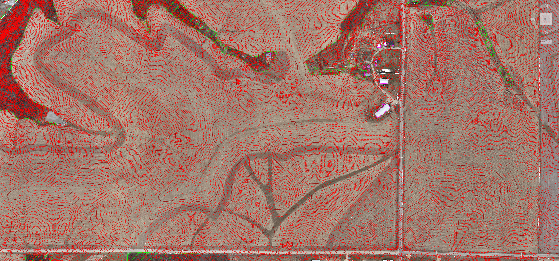
Drone Mapping
Aerial Orthophotos
Digital Terrain Model (Topography)
Basemapping & Site Evaluation
Environmental
Assured Wetland Delineation
Lupine & Rare Plant Survey
Rare, Threatened & Endangered Species Survey
Certified Endangered Resource Review
Cultural & Archaeological Screening
Agency Consultation
Layout Planning
Sensitive Feature Avoidance
Permitting & Compliance
Storm Water Management
Financial Services
Grant/Loan Application Assistance
Cost-of-Service & Rate Design Analysis
Wisconsin Policy Initiatives
Funding Solutions - Rebates, Grants & Low-Interest Loans